
File:DATE Arctic Minimum Ice Map.png
Size of this preview: 600 × 600 pixels. Other resolutions: 240 × 240 pixels | 900 × 900 pixels.
Original file (900 × 900 pixels, file size: 967 KB, MIME type: image/png)
File history
Click on a date/time to view the file as it appeared at that time.
| Date/Time | Thumbnail | Dimensions | User | Comment | |
|---|---|---|---|---|---|
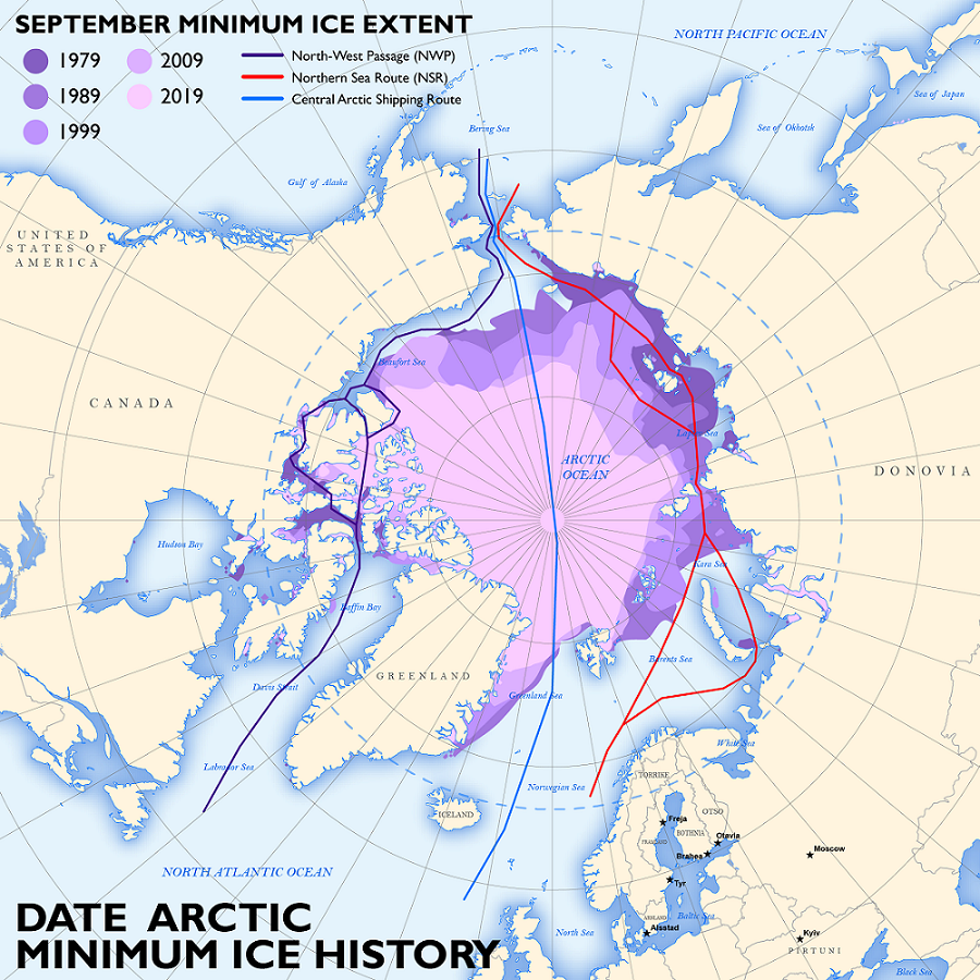
| current | 18:47, 8 February 2022 | | 900 × 900 (967 KB) | Pino.Tony1 (talk | contribs) | This map depicts the minimum annual ice extents over the last several decades in the Arctic with shipping lanes for context. Dev: TRADOC G2 keith.a.french.ctr@army.mil |
- You cannot overwrite this file.
File usage
The following page links to this file: