
File:North Pole Magnetic Blackout Zones.JPG
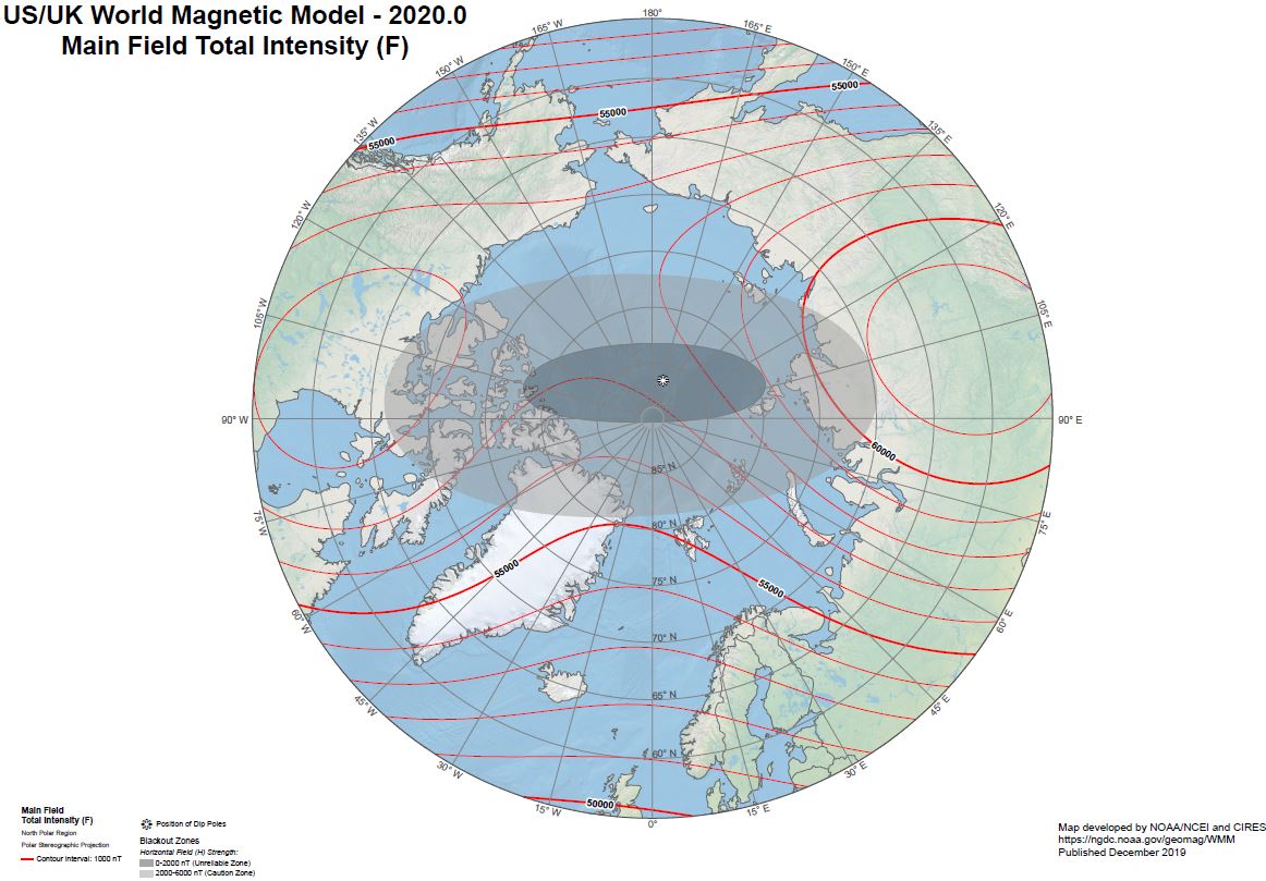
Revision as of 20:07, 26 December 2019 by Williams.marc (talk | contribs) (“The World Magnetic Model.” National Geospatial-Intelligence Agency (NGA). 10 December 2019. from https://www.ngdc.noaa.gov/geomag/WMM/DoDWMM.shtml This map shows the magnetic blackout and grayout zones where compasses do not work accurately. Map...)
Size of this preview: 800 × 557 pixels. Other resolutions: 320 × 223 pixels | 1,162 × 809 pixels.
Original file (1,162 × 809 pixels, file size: 143 KB, MIME type: image/jpeg)
File history
Click on a date/time to view the file as it appeared at that time.
| Date/Time | Thumbnail | Dimensions | User | Comment | |
|---|---|---|---|---|---|
| current | 20:07, 26 December 2019 | | 1,162 × 809 (143 KB) | Williams.marc (talk | contribs) | “The World Magnetic Model.” National Geospatial-Intelligence Agency (NGA). 10 December 2019. from https://www.ngdc.noaa.gov/geomag/WMM/DoDWMM.shtml This map shows the magnetic blackout and grayout zones where compasses do not work accurately. Map... |
- You cannot overwrite this file.
File usage
There are no pages that link to this file.