
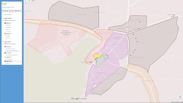
File:Kisumu urbanization map.jpg
Revision as of 15:10, 26 October 2017 by Allen.brian (talk | contribs)
No higher resolution available.
Kisumu_urbanization_map.jpg (633 × 356 pixels, file size: 32 KB, MIME type: image/jpeg)
File history
Click on a date/time to view the file as it appeared at that time.
| Date/Time | Thumbnail | Dimensions | User | Comment | |
|---|---|---|---|---|---|
| current | 15:09, 26 October 2017 | | 633 × 356 (32 KB) | Allen.brian (talk | contribs) | Keywords: DATE Africa, map, Kisumu, urbanization, infrastructure, construction patterns |
- You cannot overwrite this file.
File usage
The following page links to this file: