
File:Amari Satellite Coverage.png
From WEG MediaWiki
No higher resolution available.
Amari_Satellite_Coverage.png (375 × 228 pixels, file size: 158 KB, MIME type: image/png)
File history
Click on a date/time to view the file as it appeared at that time.
| Date/Time | Thumbnail | Dimensions | User | Comment | |
|---|---|---|---|---|---|
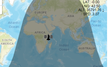
| current | 13:24, 26 September 2017 | | 375 × 228 (158 KB) | Sylvester.vernon (talk | contribs) | Generic graphic of satellite coverage of the Eastern Region. |
| 18:21, 22 September 2017 |  | 375 × 228 (158 KB) | Sylvester.vernon (talk | contribs) |
- You cannot overwrite this file.
File usage
The following page links to this file: