
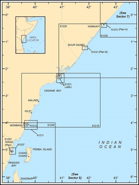
File:Regional Maritime map.jpg
From WEG MediaWiki

Size of this preview: 451 × 599 pixels. Other resolutions: 181 × 240 pixels | 924 × 1,227 pixels.
Original file (924 × 1,227 pixels, file size: 176 KB, MIME type: image/jpeg)
File history
Click on a date/time to view the file as it appeared at that time.
| Date/Time | Thumbnail | Dimensions | User | Comment | |
|---|---|---|---|---|---|
| current | 18:56, 30 May 2018 | | 924 × 1,227 (176 KB) | Allen.brian (talk | contribs) | Reverted to version as of 17:50, 30 May 2018 (UTC) |
| 18:55, 30 May 2018 | 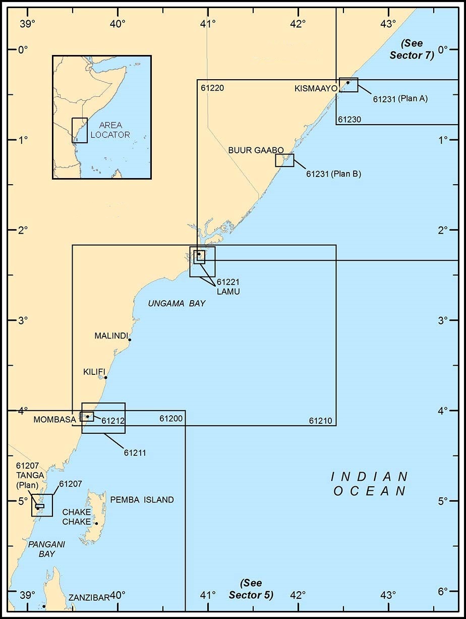 | 924 × 1,227 (175 KB) | Allen.brian (talk | contribs) | Removed country names and changed file name | |
| 17:50, 30 May 2018 |  | 924 × 1,227 (176 KB) | Allen.brian (talk | contribs) | Removed real-world county names. | |
| 17:05, 25 October 2017 | 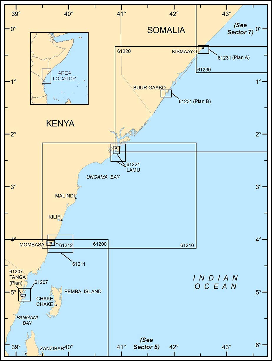 | 924 × 1,227 (102 KB) | Allen.brian (talk | contribs) | From NGA Pub 171 (Sailing Directions) http://msi.nga.mil/MSISiteContent/StaticFiles/NAV_PUBS/SD/Pub171/Pub171bk.pdf |
- You cannot overwrite this file.
File usage
There are no pages that link to this file.